
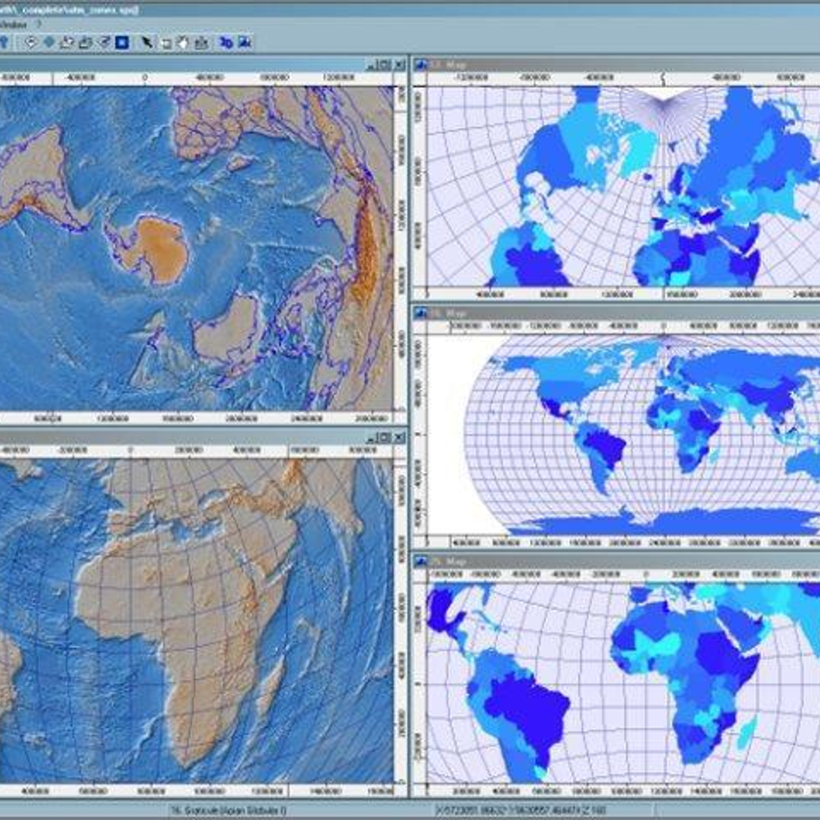
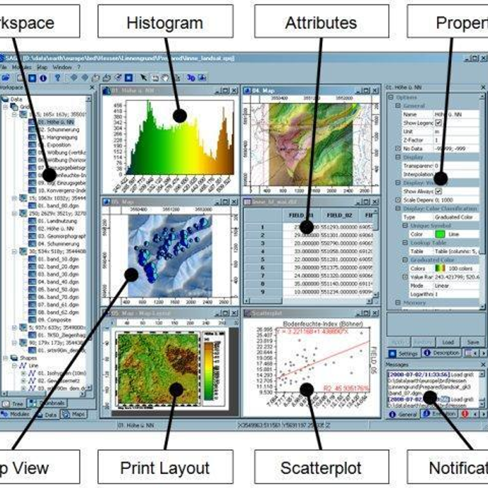
SAGA GIS (System for Automated Geoscientific Analyses) is a Geographic Information System (GIS) software package used widely by researchers, academics, and government agencies. It is free, open-source, and cross-platform, and is capable of performing a wide range of geospatial functions such as data management, analysis, and visualization. SAGA GIS is used mainly for geospatial analysis, geostatistics, image processing, and terrain analysis. It can be used to study climate change, environmental impact analysis, urban planning, and land-use planning. It is based on the C++ programming language and its graphical user interface is based on the Qt library. It offers a comprehensive set of tools for geospatial data processing, including spatial analysis, data management, data visualization, and geoprocessing. In addition, SAGA GIS also provides a range of plugins which can be used to extend its capabilities.
 QGIS
QGIS
 GRASS GIS
 OpenGeo Suite
 GeoServer
 gvSIG Desktop
 ArcGIS
 Mapnik
 MICRODEM
 uDig
uDig
 Mapline
 MapWindow GIS
 MapInfo Professional
 MapLarge
 what3words
 MapBusinessOnline.com
 SuperGIS
 Manifold
 Global Mapper
 Spotzi Mapbuilder
SAGA GIS Comments
No Comments