
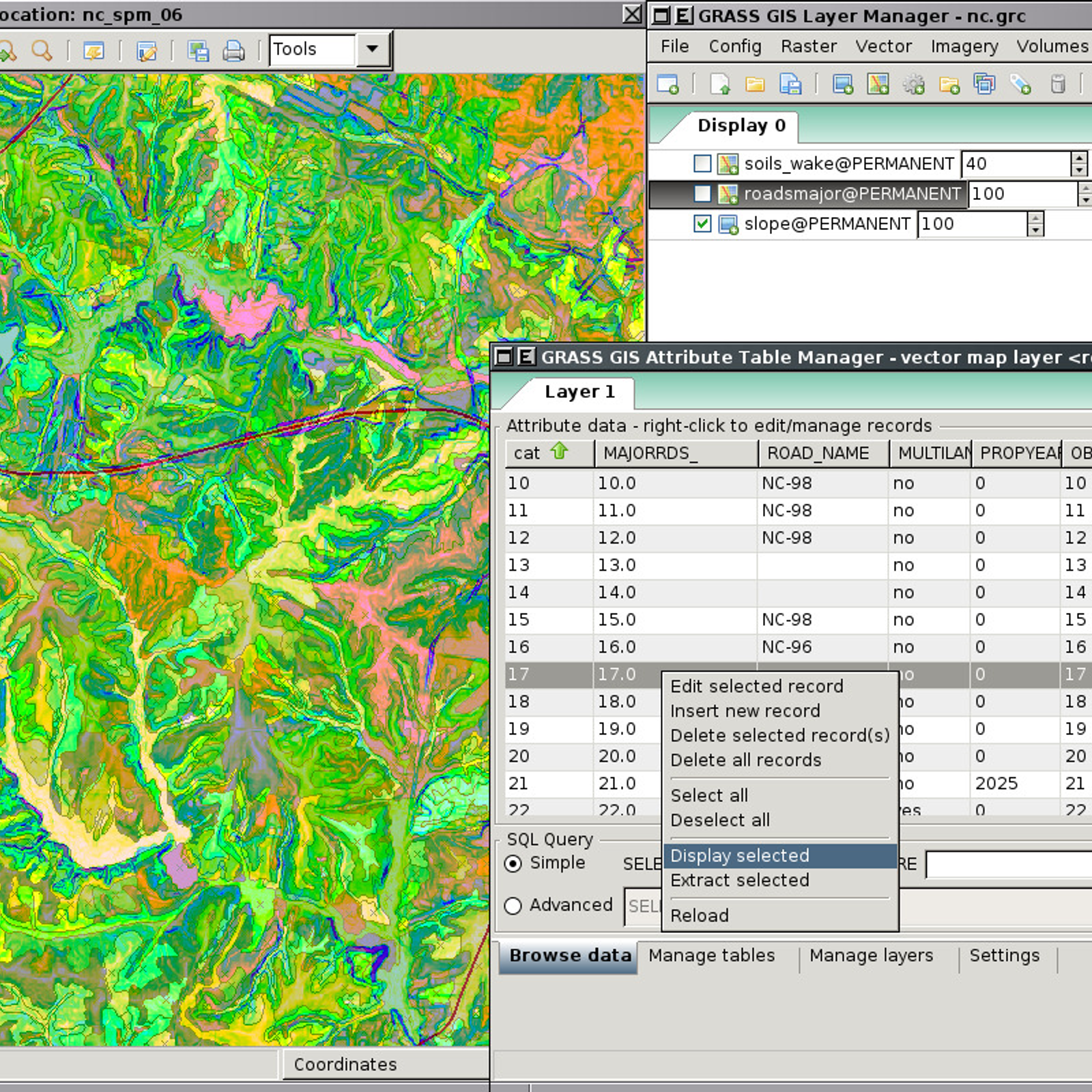
GRASS GIS (Geographic Resources Analysis Support System) is a powerful open source Geographic Information System (GIS) used for geospatial data management and analysis, image processing, and visualization. It is used for a variety of applications including environmental resource management, land use planning, and education. With GRASS GIS, users can create, manage, analyze, and visualize spatial data, including vector (points, lines, and polygons) and raster (satellite imagery, aerial photographs, and digital elevation models). It contains a variety of tools, including hydrological and terrain analysis, which can be used to generate hydrological models, analyze terrain elevation, analyze and visualize land cover, and more. Furthermore, GRASS GIS can be used to develop location-based applications, such as navigation and location tracking. GRASS GIS also provides a wide range of options for data sharing and collaboration.
 QGIS
QGIS
 OpenLayers
 PostGIS
 ArcGIS
 SAGA GIS
 GeoServer
 Mapnik
 gvSIG Desktop
 MICRODEM
 SuperGIS
 uDig
uDig
 Mapline
 MapWindow GIS
 MapInfo Professional
 MapLarge
 what3words
 Manifold
 Global Mapper
 Spotzi Mapbuilder
 Spatial Feature Server
GRASS GIS Comments
No Comments