
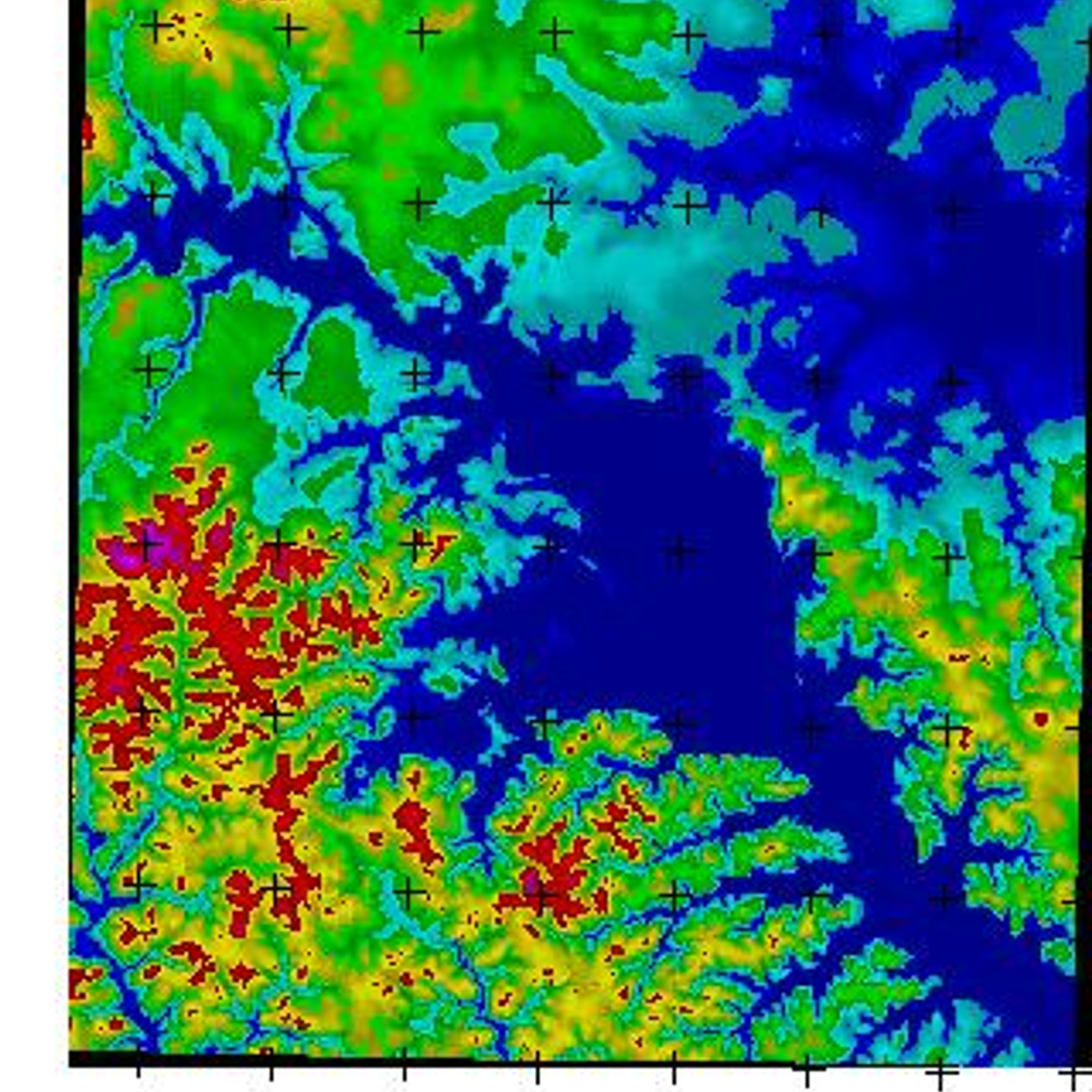
MICRODEM is a powerful Windows application for viewing, analyzing and manipulating digital elevation models (DEMs) and other raster data. It supports a variety of data formats, including USGS DEM, USGS SDTS, DTED, GeoTIFF, BIL, and DEM. MICRODEM provides a range of features, including: the ability to obtain elevation profiles, contour lines and other elevation data; the ability to produce maps with various colors and symbols; the ability to perform basic GIS operations such as buffering, intersecting, and clipping; and the ability to perform advanced analysis, such as watershed delineation, line of sight calculations and visibility analysis. MICRODEM is suitable for a variety of uses in different fields, including geology, hydrology, oceanography, engineering, emergency management, and archaeology.
 QGIS
QGIS
 GRASS GIS
 SAGA GIS
 what3words
 Spatial Feature Server
MICRODEM Comments
No Comments