
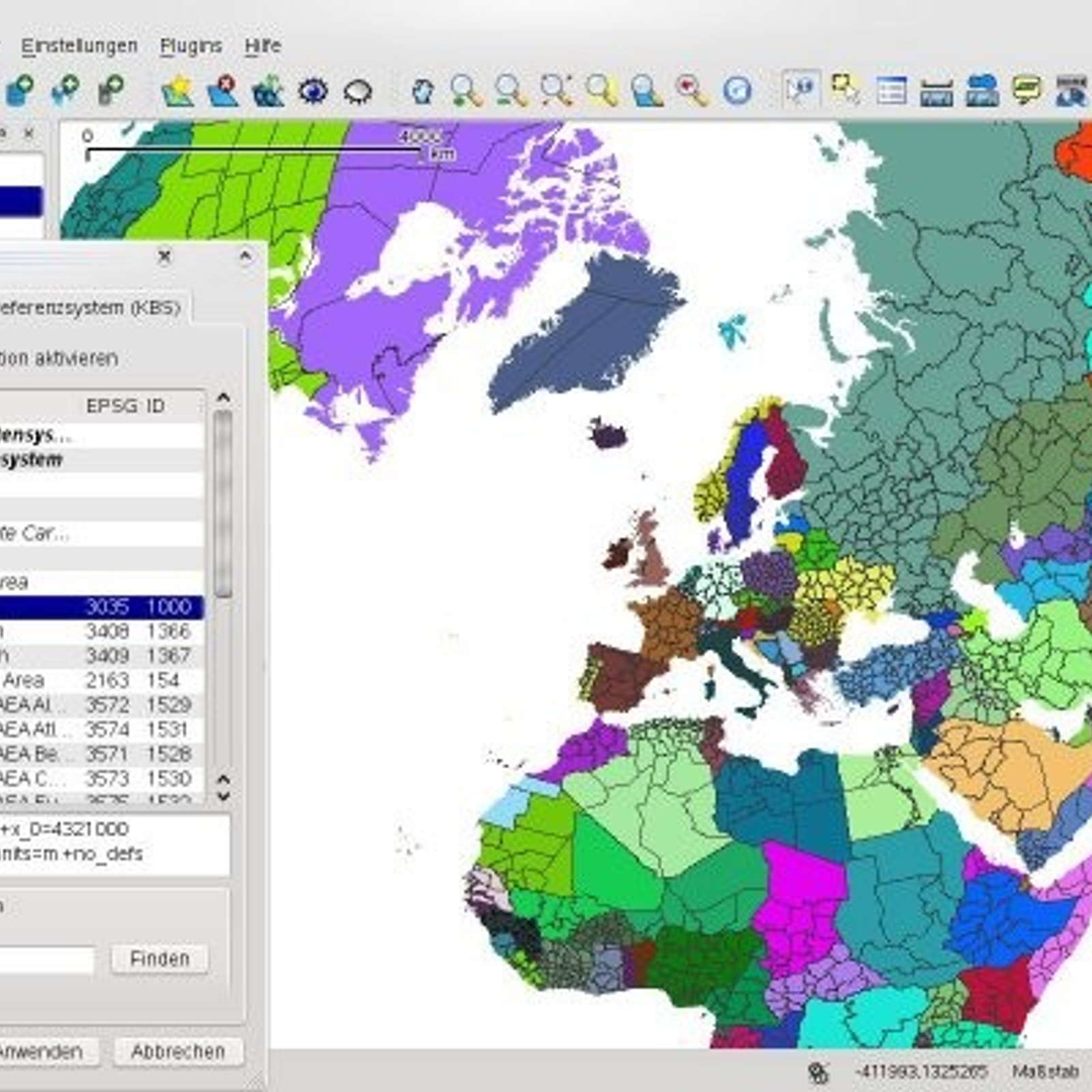
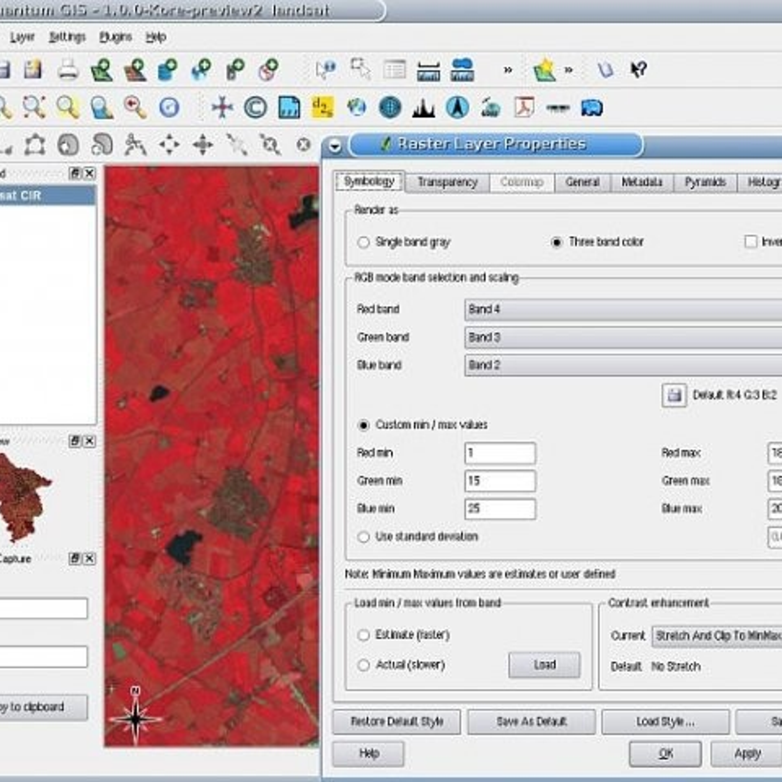
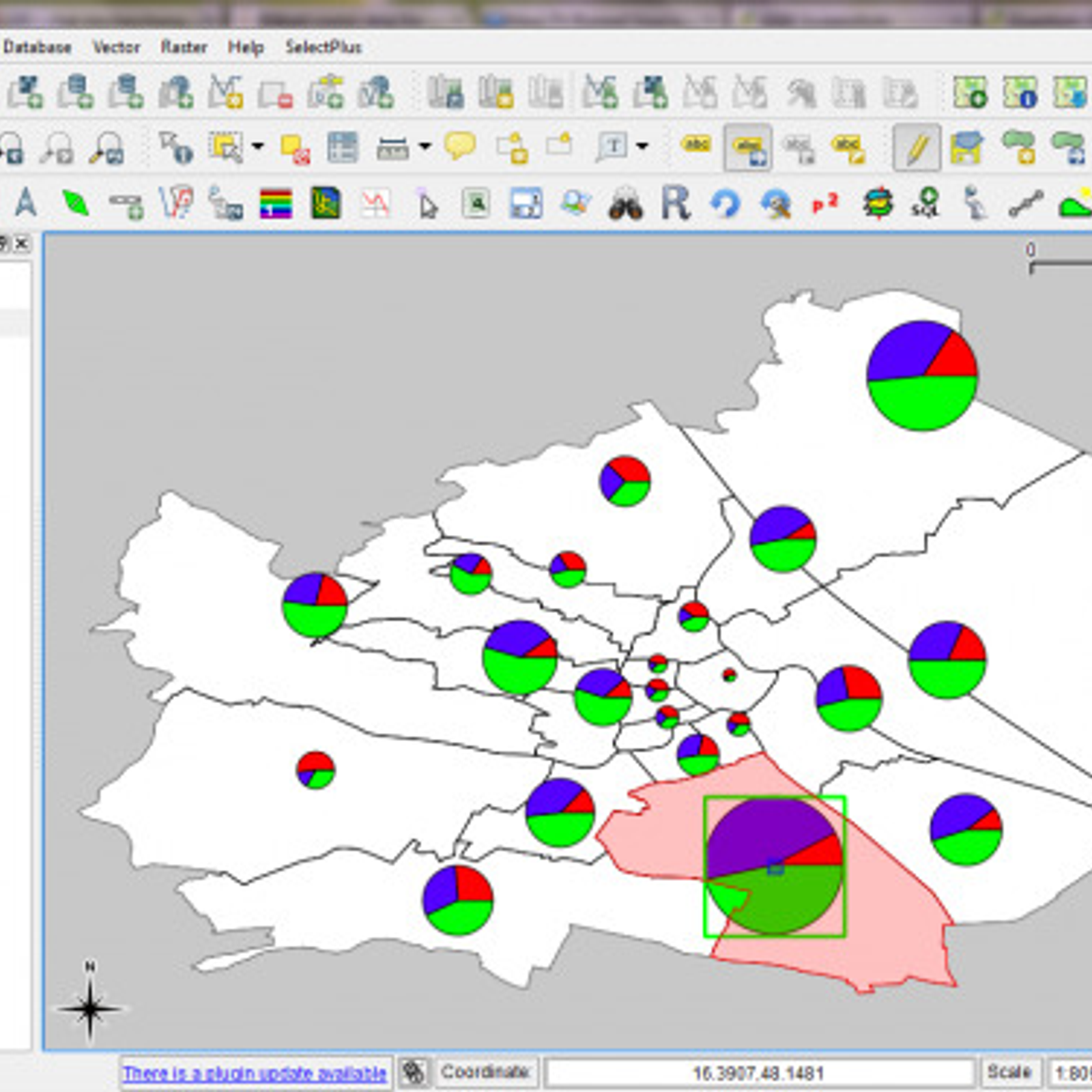
QGIS is an open source geographic information system (GIS) application developed by the Open Source Geospatial Foundation (OSGF). It offers a comprehensive suite of tools for creating, editing, and managing spatial data. QGIS can be used to create maps, geospatial analysis, data visualization and geoprocessing operations. It has a wide variety of features and functionalities, including support for vector, raster and database formats, as well as an intuitive and user-friendly graphical user interface. It can be used for a variety of tasks, such as creating maps, analysis, geocoding and georeferencing, 3D visualization, and more. QGIS is also compatible with many popular GIS software, such as ArcGIS, MapInfo, and GeoServer. Additionally, it can be extended with various plugins to provide additional features and functionalities.


Descontinuado https://support.google.com/mapsengine/
 ArcGIS
 GRASS GIS
 SuperGIS
 OpenGeo Suite
 SAGA GIS
 Google Maps Engine
 gvSIG Desktop
 CartoDB
 MICRODEM
 MapWindow GIS
 Manifold
 Global Mapper
 Spotzi Mapbuilder
 Mapserver
 uDig
uDig
 Geoconcept
 ESRI Geoportal Server
 MapInfo Professional
 MapLarge
Similar functionality (the only difference is the price)