
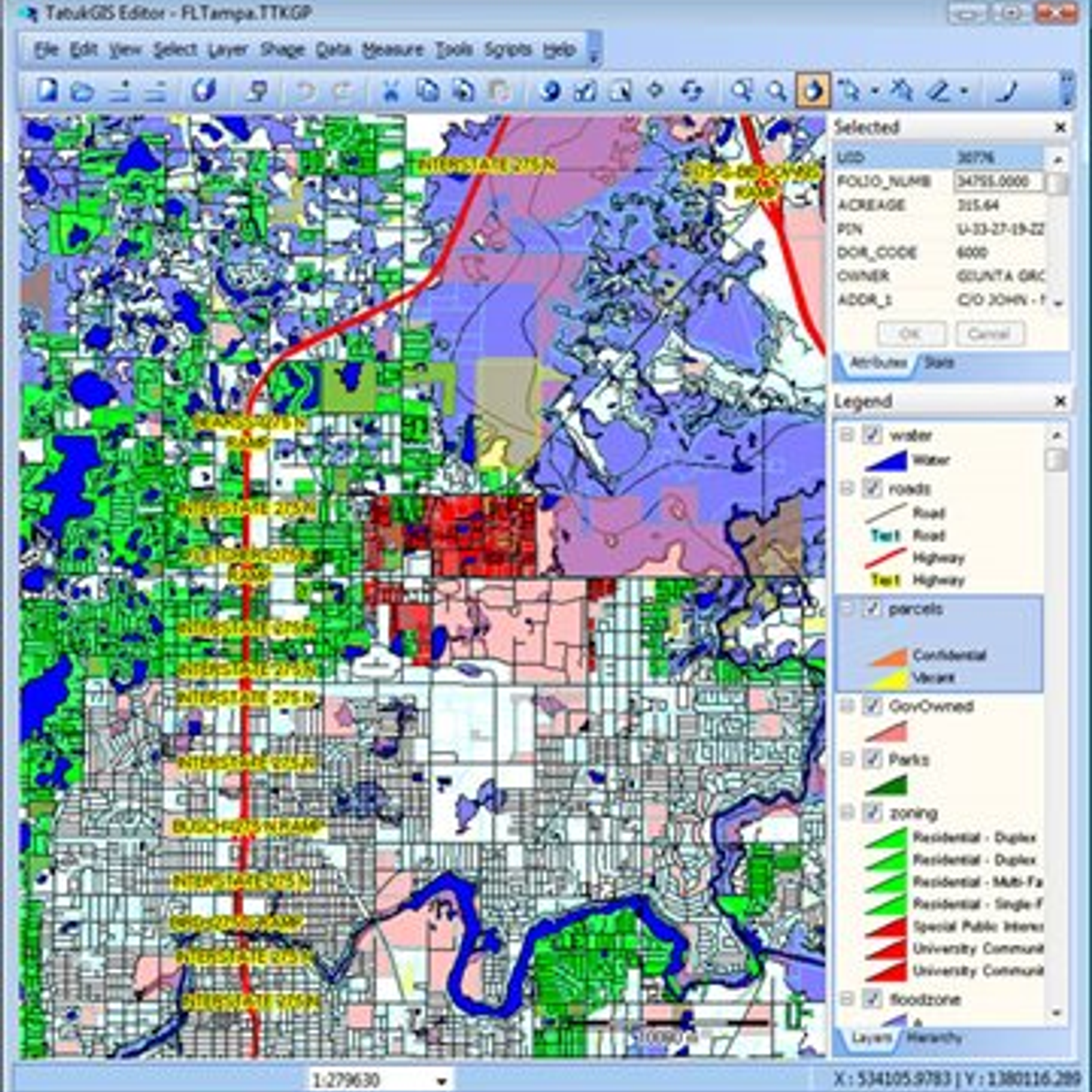
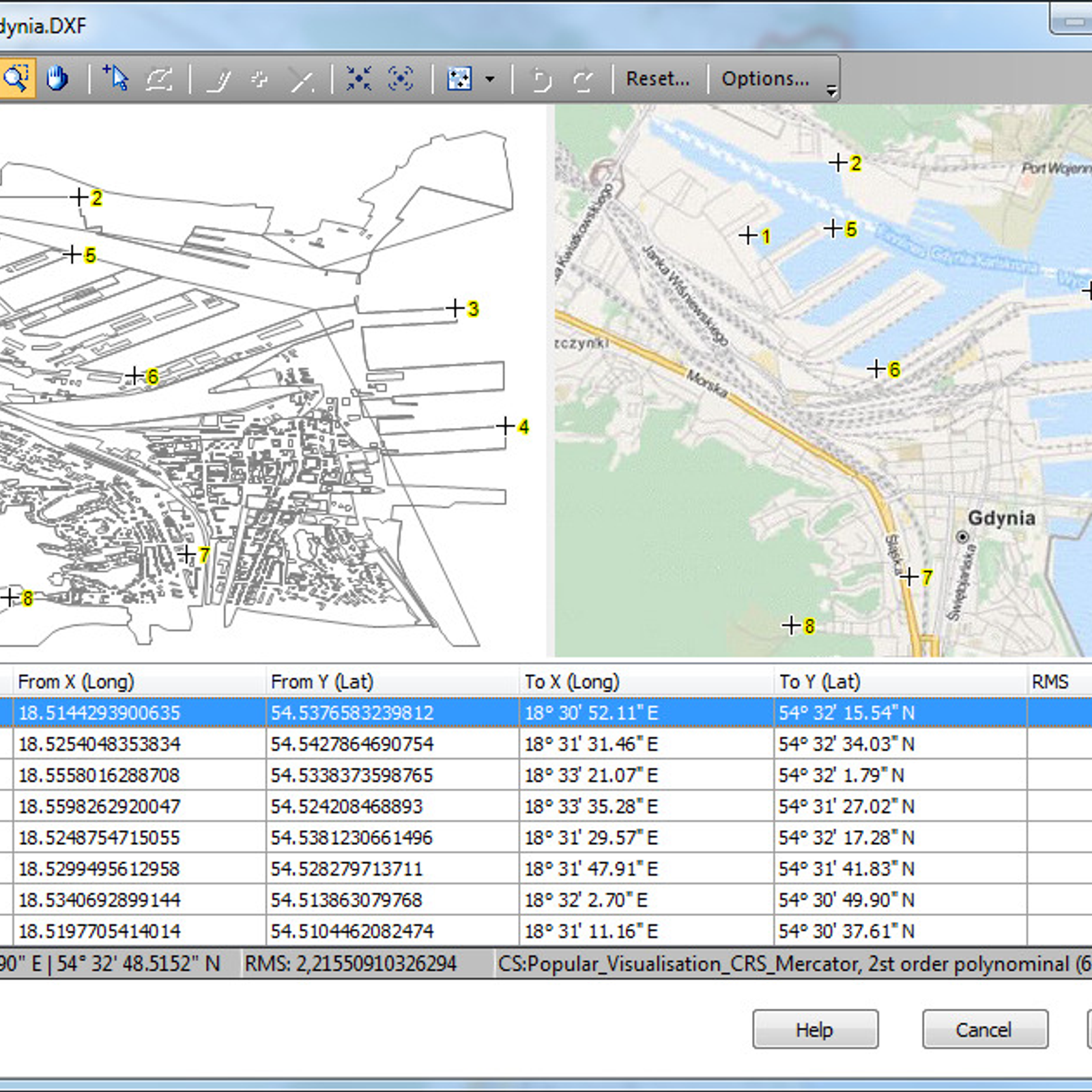
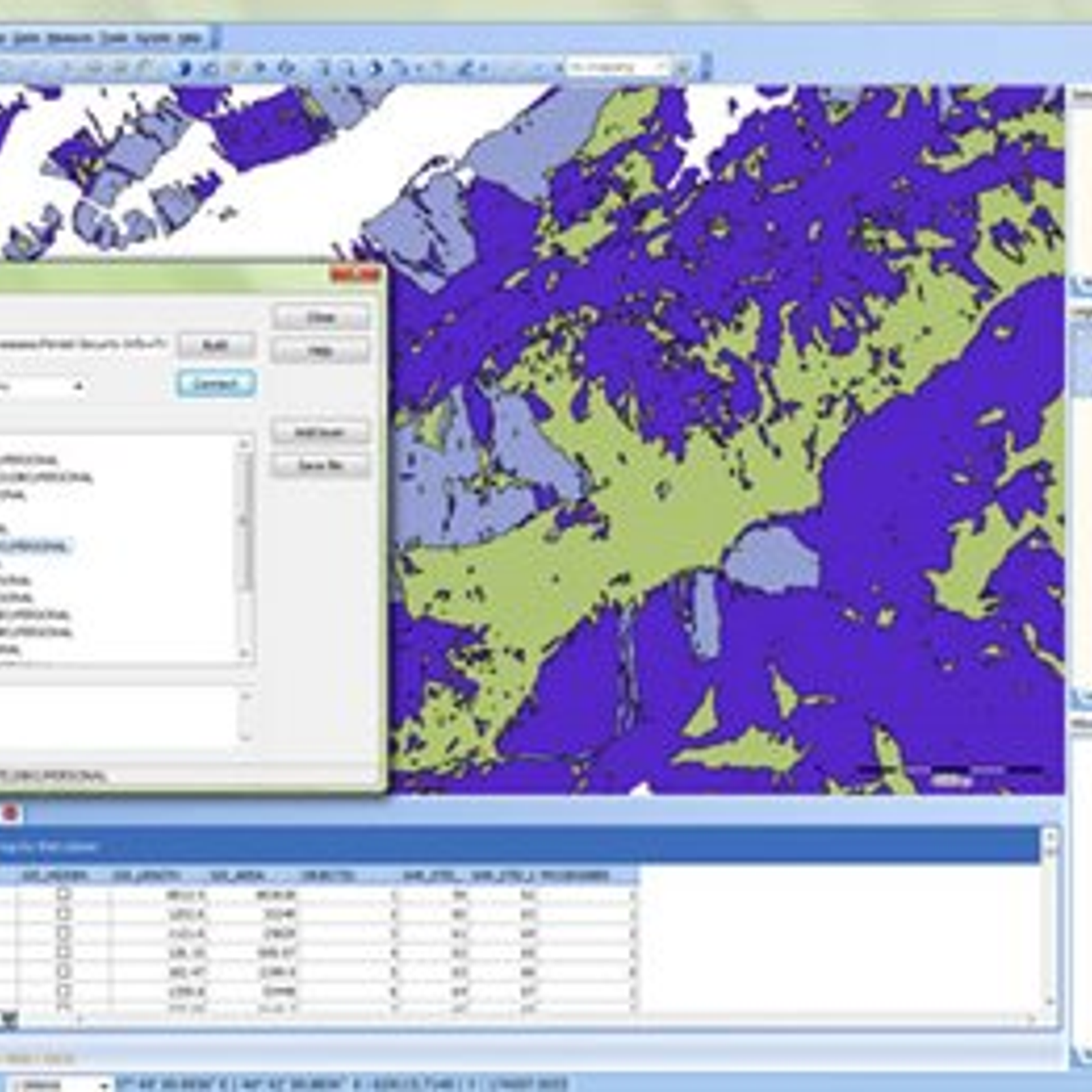
TatukGIS Editor is a powerful desktop GIS (Geographic Information System) editor that enables users to view, edit, create, and manage geographic data. It provides an easy-to-use graphical user interface and an extensive set of features to work with vector, raster, and database data sources. It also includes a variety of mapping and analysis tools to help users create and analyze maps. The Editor supports more than 100 GIS file and image formats, including Shapefiles, GeoTIFF, DXF, and MrSID. It also supports a range of geoprocessing, coordinate conversion, and data management tools. With TatukGIS Editor, users can create, edit, and analyze GIS projects with ease.

 QGIS
QGIS
 ArcGIS
 gvSIG Desktop
 SAGA GIS
 MapWindow GIS
 what3words
 SuperGIS
 Manifold
 Global Mapper
 Spatial Feature Server
 GeoMedia
 GeoSheets
TatukGIS Editor Comments
No Comments