
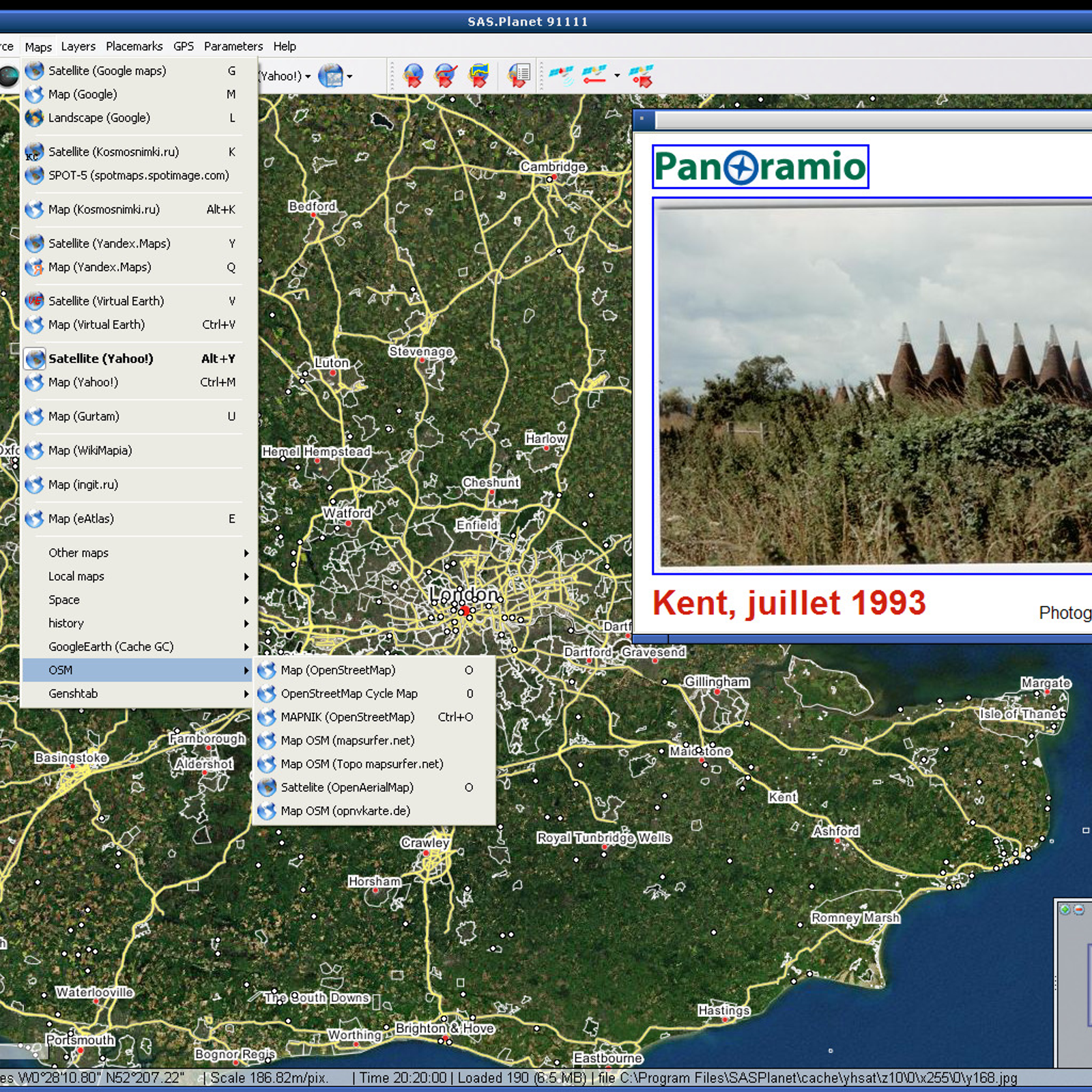
SAS.Planet is a free, powerful and feature-packed Windows application that provides users with a comprehensive toolset for exploring and using satellite imagery and related geospatial data. It supports a wide range of image sources, including Google Earth, Bing Maps, OpenStreetMap, and many others. SAS.Planet enables users to find, download, and view satellite imagery, topographic maps, and other geographic data, and then combine them into custom maps with various features, such as labels, lines, and shapes. It also enables users to measure distances and areas, print maps, and save them in a variety of formats. Additionally, SAS.Planet also provides users with access to a variety of GIS data, such as elevation and terrain data, relief maps, population data, and more.

 OpenStreetMap
 Google Earth
 HERE WeGo
 Google Street View
 Leaflet
 2GIS
2GIS
 Yandex.Maps
 NASA World Wind
 Apple Maps
 Marble
 Bing Maps
 Navmii
 GMap.NET
 Modest Maps
 MapQuest
 Mapline
 Scout by Telenav
 Windows Maps
 OruxMaps
Leaflet is a library for building maps.