
PyMapper is an open source Python-based application that provides a graphical user interface for creating interactive maps. It allows users to customize their maps by adding layers, such as terrain, roads, and bodies of water, as well as adding points of interest such as restaurants, parks, and museums. PyMapper also provides tools for creating custom markers and labels. It provides users with the ability to export their maps in a variety of common file formats, including GeoJSON, KML, and SVG. PyMapper is an ideal tool for creating interactive maps for web and mobile applications, as well as for creating maps for print.
 Tiled Map Editor
 Campaign Cartographer
 AutoREALM
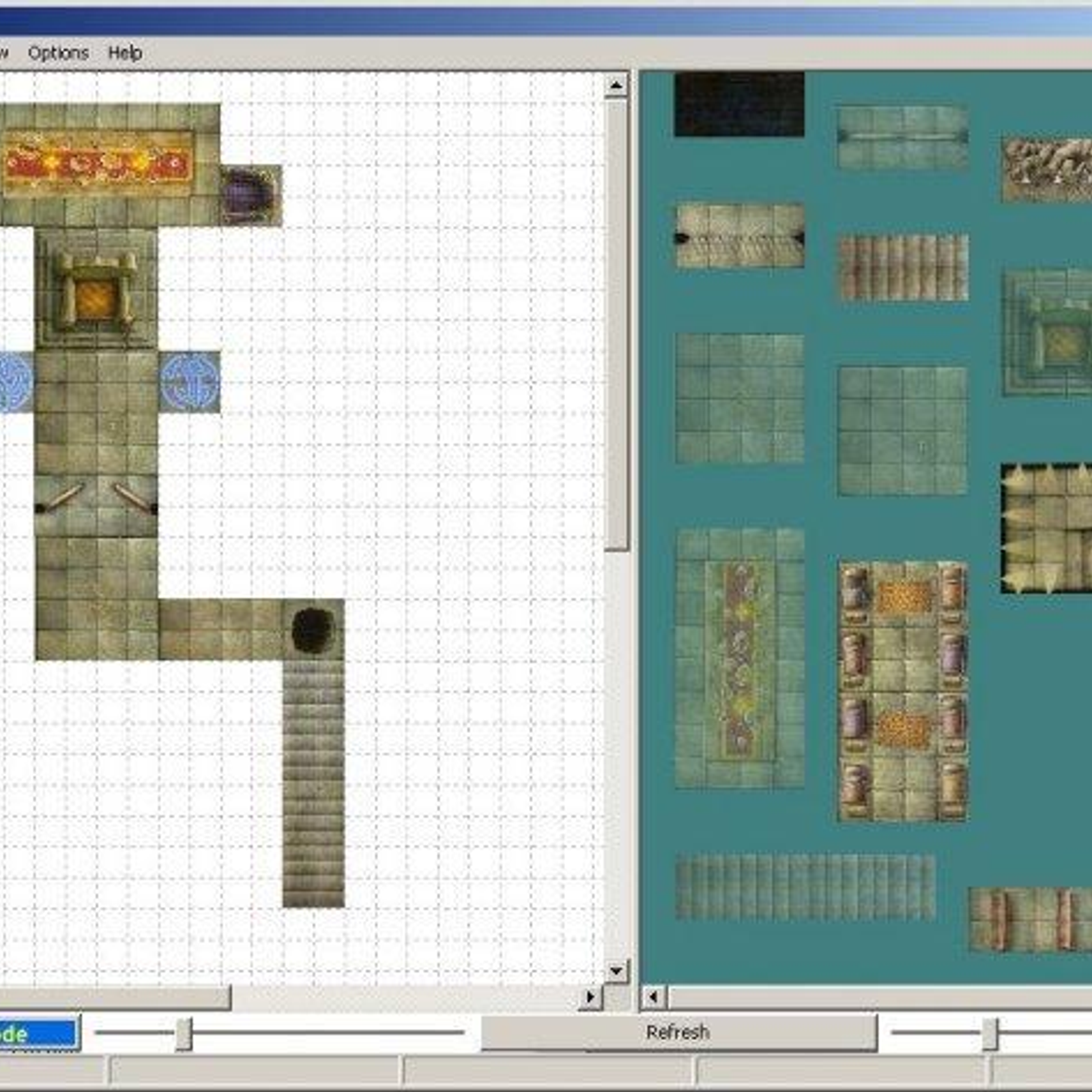
 Dundjinni
 Fractal Mapper
 Dungeon Tile Mapper
 MapForge
 Tiamat
 Deadly Alien Map Editor (DAME)
 DUNGEONFOG
 Hextml
Discontinued The program has not been updated since 2007.