
gvSIG is a full-featured, open-source geographic information system (GIS) that allows users to capture, store, manage, analyze, and display spatial data. It can be used to create and edit geospatial data and maps, analyze data, create geoprocessing models and automations, and generate reports and maps. Users can also use gvSIG to access and analyze data from a variety of sources, including web services, spatial databases, and GPS devices. Additionally, gvSIG is capable of working with a variety of formats, including vector, raster, and 3D data. With its comprehensive set of tools, gvSIG is a great choice for creating and managing travel and location-based applications.

 Google Maps
 Google Earth
 Waze
Waze
 OsmAnd
 HERE WeGo
 Google Street View
 Leaflet
 Apple Maps
 Sygic GPS Navigation
 NavIT
NavIT
 Modest Maps
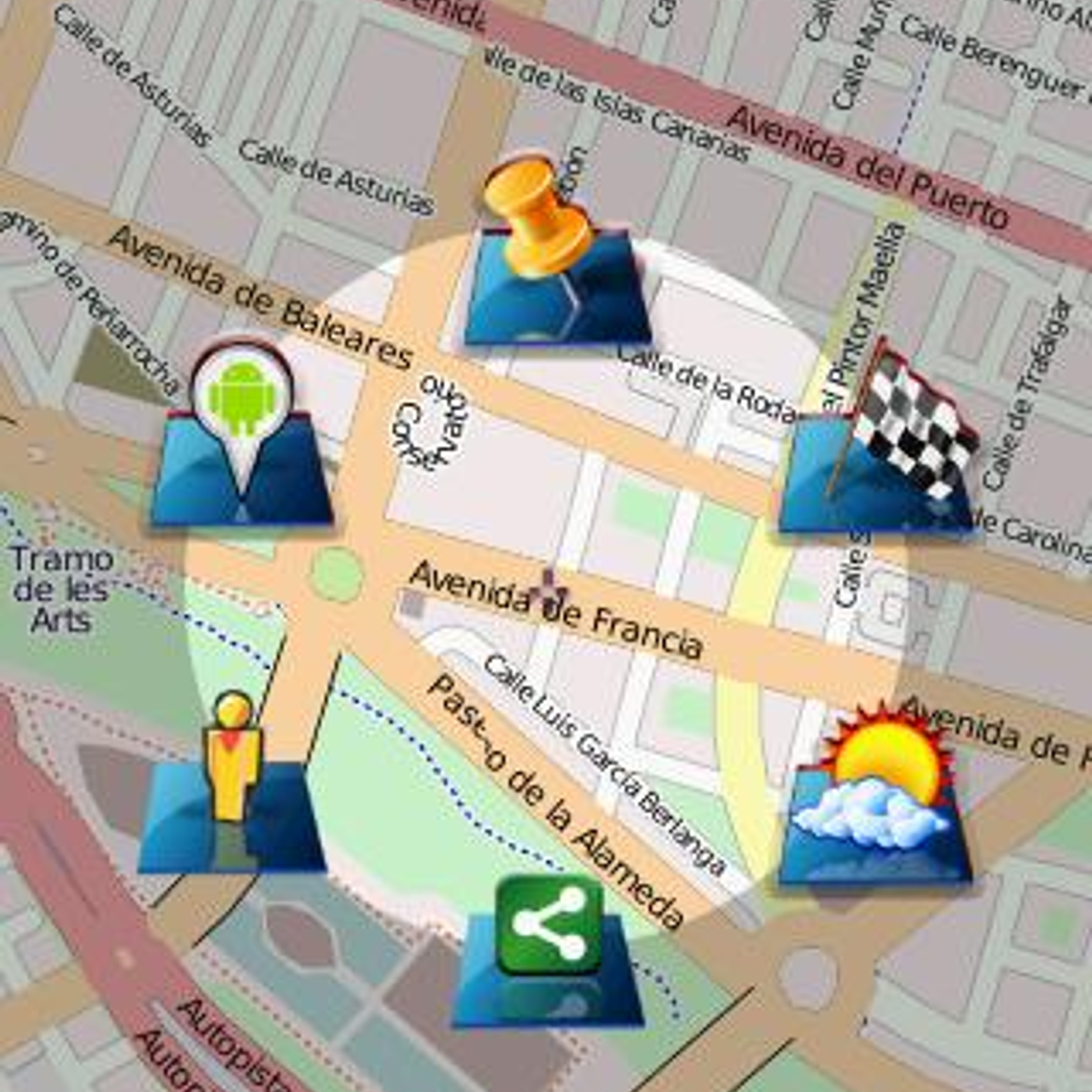
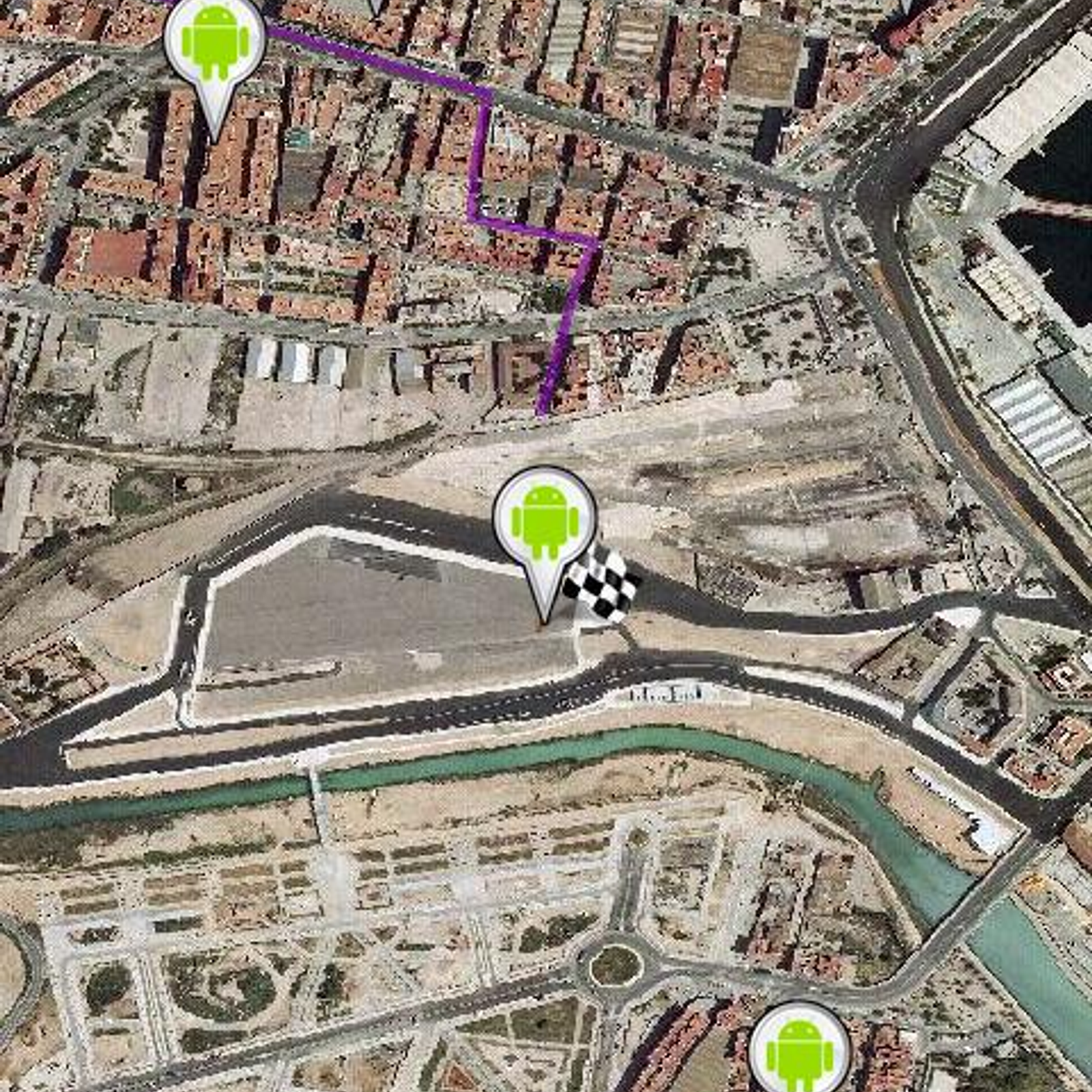
 Locus Map
 Navmii
 Graphhopper
 CoPilot
 RMaps
RMaps
 Scout by Telenav
 Windows Maps
Discontinued The project seems to be no longer developed. The latest version, 0.9.4, released in June 2013, can still be downloaded from the official website.