
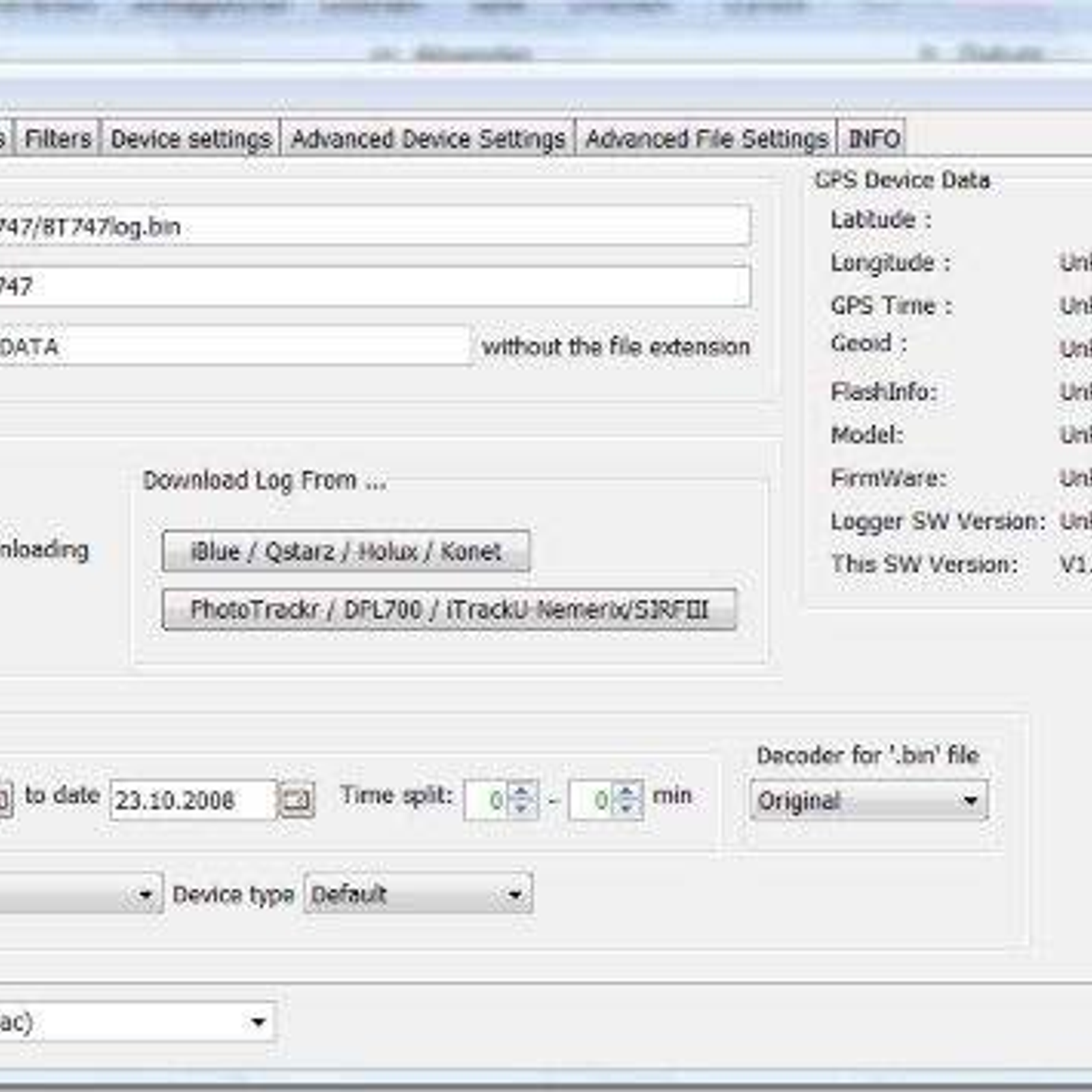
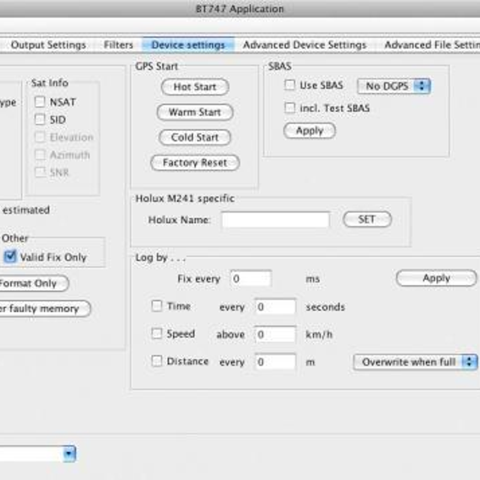
BT747 is a powerful application that allows users to track their outdoor activities and journeys. It is an open source, cross-platform application that runs on Windows, Mac, and Linux, and is designed for outdoor enthusiasts, hikers, cyclists, and other adventure seekers. It allows users to track their location and view the paths they have taken as well as view various statistics such as maximum and average speed, altitude, and distance traveled. The application also allows users to upload and store their data to a variety of online services, such as Google Earth, Google Maps, and Open Street Maps. Additionally, users can also export their data in GPX or KML format for use in other applications. BT747 integrates with a number of GPS receivers, making it an ideal choice for outdoor activities such as hiking, cycling, and geocaching. It is an easy to use and intuitive application, and is available for free download from the official website.
 RouteConverter
 Mobile Trail Explorer
 TrekBuddy
BT747 Comments
No Comments